We are a leading land services provider operating across NSW.
Masri Survey Group

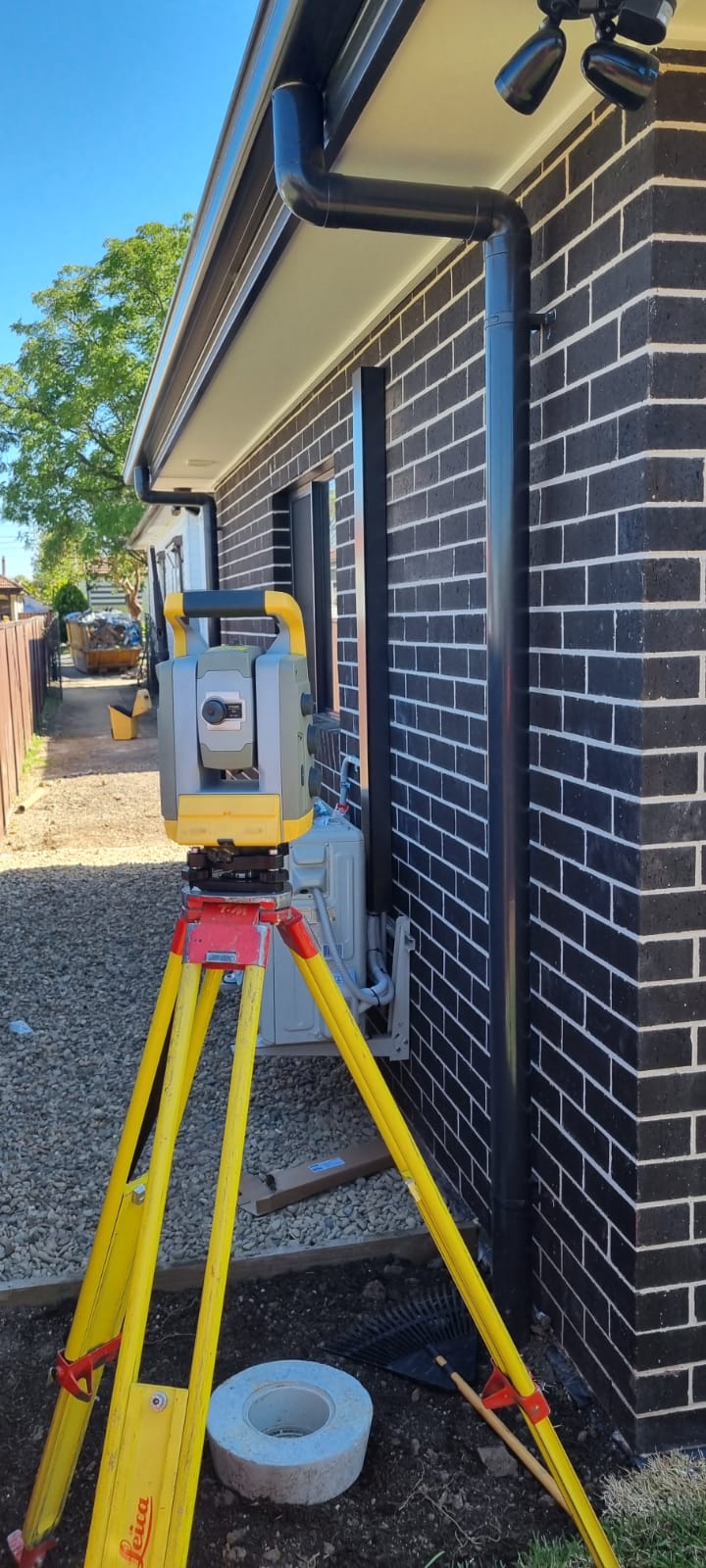
Detail Contour Surveys
A detail contour survey is a collection of data points that focus on mapping the natural and man-made features of any particular area. This includes picking up trees, easements, footpaths or…

Set-Out Surveys
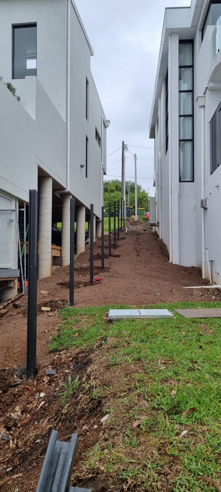
also known as a peg out involves the precise placement of marks to assist the builder with the location of the proposed building.

Identification Surveys
An Identification survey report accurately determines the legal boundaries of a parcel of land along with distances to significant features such as floor level, roof heights or easements.

Subdivisions
A plan of subdivision outlines the division of a larger parcel of land into 2 or more smaller lots.

Consolidation
A plan of consolidation is a mandatory legal document which is required when combining adjacent parcels of land into an individual larger lot.

Redefinition
A plan of redefinition is a modification of the boundaries of an existing parcel of land and is typically conducted to correct inaccuracies, resolve boundary disputes, or adjust property lines due to changing circumstances.

